The process
The study was organized into four tasks - inception, diagnostic, scenario building and synergies and prefeasibility - which resulted in a city strategy, plans for three pilot sites and recommendations for the implementation and upscaling of those pilots. The study also included continuous stakeholder and community engagement, to ensure the robustness of the study.
During the inception, we defined the methodology, approach, and activities of the technical assignment, as well as the community engagement activities, where we discussed with stakeholders to reach a shared understanding of the problem. Besides, we conducted the first field visit, to get insight into the project area.
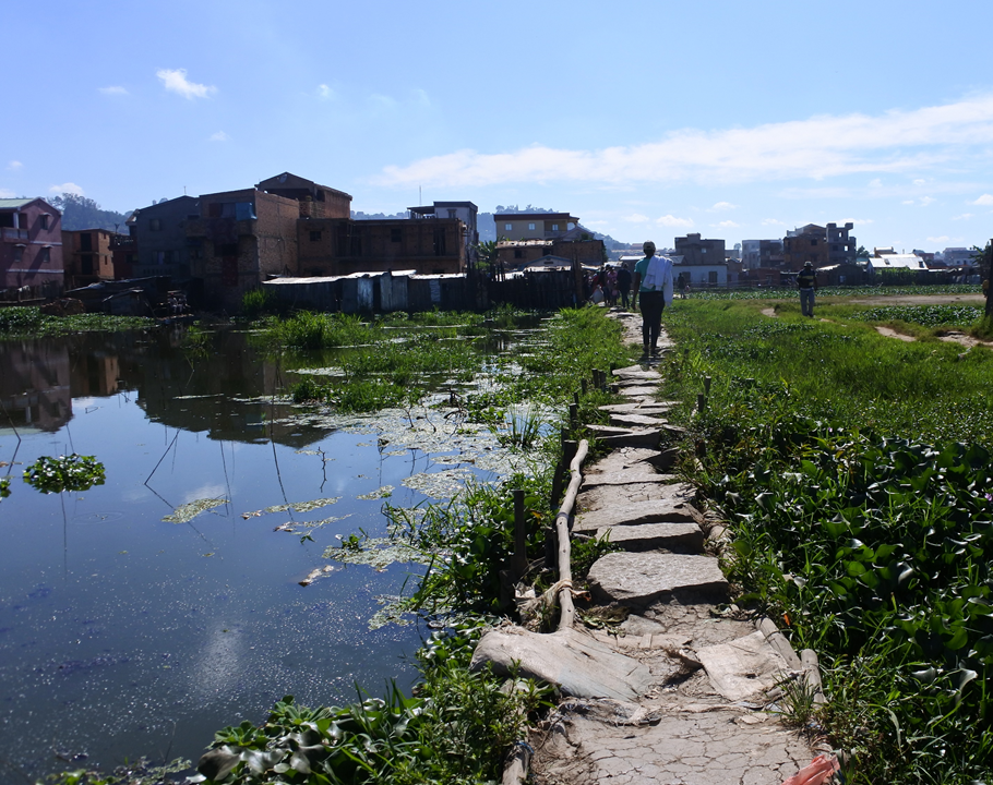
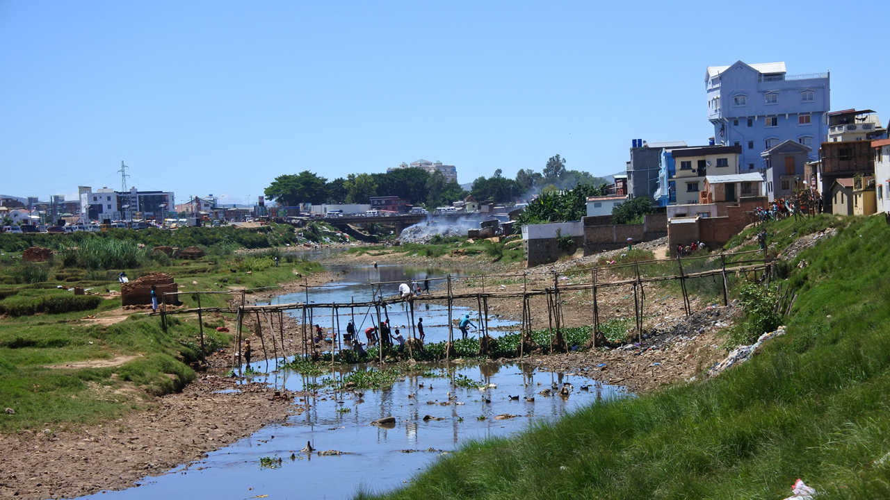
Then, we conducted the diagnostic, where we aimed to understand the current situation, identify challenges and opportunities, and foresee potential solutions. The diagnostic covered: the analysis of the water system in relation to pluvial and fluvial flooding; the exploration of the challenges the city is coping with; plans in other countries to reduce flood risk and improve disaster evacuation, including best practices; and potential interventions for Antananarivo. From the diagnostic, we concluded that to reduce flood risk in the floodplains of Antananarivo, we need to produce a strategic, versatile, multiscale and upscalable intervention, able to increase the storage and discharge capacity of the area. This should include local capacity building and raising awareness in the community. Following the diagnostic, we worked with scenarios and synergies, to explore how different measures and sites could be part of a disaster evacuation plan
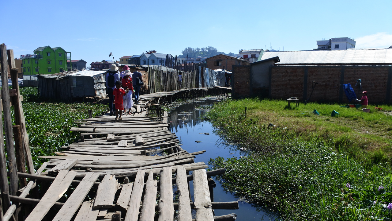
After, we worked on scenario building and synergies, exploring how the potential measures and locations identified during the diagnostic could best address the challenges in the area as part of a disaster evacuation plan. We focused on on-site and off-site refuges, connected by a network of evacuation routes, where NbS and other complementary measures could be implemented. The main findings from that process were that:
-
scenarios are complementary and can be considered as different phases of one overarching plan, and
-
refuges and evacuation routes form a network of NbS that can start on a small scale but can extend to cover the entire project area.
Finally, we conducted the prefeasibility assessment, aiming at understanding how and where the measures previously studied could be implemented, and what would be needed for it. This, to develop a project-wide approach, to guide stakeholders at different scales in the implementation and upscaling of NbS and complementary measures for flood risk reduction and disaster evacuation.
We analyzed three sites in-depth and assessed the effectiveness of various measures, both NbS and others, which we used to develop a plan for each one of the sites. We also developed design guidelines for the upscaling of these pilots, as well as general strategies for the implementation, maintenance, communication and monitoring of the measures.
We studied preselected sites, leading to the selection of three pilot sites
(see interactive map below).
The interactive content below might not be fully accessible.
Map of the ten preselected sites in relation to the flood extent from PRODUIR.
The main conclusion from this prefeasibility assessment is that complex challenges should be addressed by simple solutions that are community-based, easy to implement and to replicate. Moreover, education and a suitable governance structure are essential for the design, implementation and maintenance of the successful low-tech intervention for flood risk reduction and disaster evacuation.